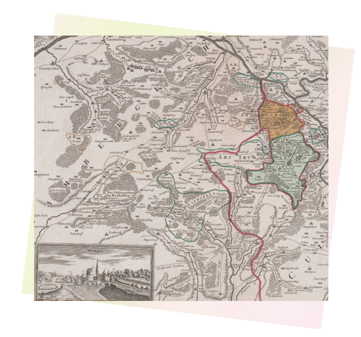
Borders of Thurnau
Thurnau is located circa 60 km from the closest border - that of the Czech Republic. It is not commonly seen as situated in a “border region”. Yet as recently as 1990, Thurnau lay less than 30 km from the inner-German border. In the early modern period, the closed border was just behind the castle. Over the centuries, changing frontiers shaped the region now called Upper Franconia. A complex and nuanced picture of the impact and endurance of many overlapping borders and “border regions” emerges.
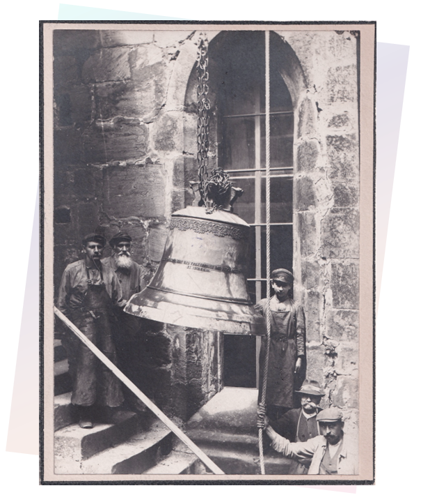
Even though at first sight only a few decrepit border stones that weathered the centuries bear witness to those former borders, they continue to shape both the character of Thurnau and the sense of belonging of its inhabitants. Especially the drastic changes over the last three centuries, have left their marks, chief among them the rise and fall of the house von Giech and Thurnau’s period of independence, ending in the tumult of the Revolutionary Wars, but also German unification, colonialism, the “Third Reich”, the inner-German border and the enlargement of the EU.
People and places continue to be fashioned by the changing shape of borders. Looking at the way borders and migration have shaped it over time, is ever timelier at a moment of renewed conflict in Europe and the need for refuge.
The exhibition invites you to discover some of the traces of these borders shifts in the architectural fabric of the castle and through objects from the Giech collection, the state archives in Bamberg, the archives of the market town, and private collections and recollections from an inhabitant and to connect them with the wider histories of borders throughout the exhibition.
References
Literature:
Thurnau – 1239 bis zum Ende des Alten Reiches. Ersch. in: Markt Thurnau (Hrsg.): Thurnau 1239-1989. Bayreuth, 1989. S.9-16.
Köbler, Gerhard: Historisches Lexikon der deutschen Länder. Die deutschen Territorien vom Mittelalter bis zur Gegenwart. München, 2019, S.219.
Authors: Luca Kost, Wolfgang Ficht